Morrill County, Nebraska
PO Box 610
Bridgeport, NE 69336
Phone: (308) 262-0860
Fax: (308) 262-1469
www.co.morrill.ne.us
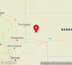
In western NE, east of Scottsbluff; organized Nov 3, 1908 from Cheyenne County. Name Origin: For Charles Henry Morrill, regent of the University of Nebraska (1890-1903)
Area (sq mi):: 1429.81 (land 1423.75; water 6.06) Population per square mile: 3.60
Population 2005: 5,165 State rank: 56 Population change: 2000-20005 -5.10%; 1990-2000 0.30% Population 2000: 5,440 (White 88.60%; Black or African American 0.10%; Hispanic or Latino 10.10%; Asian 0.20%; Other 6.00%). Foreign born: 3.80%. Median age: 39.50
Income 2000: per capita $14,725; median household $30,235; Population below poverty level: 14.70% Personal per capita income (2000-2003): $18,905-$22,832
Unemployment (2004): 3.30% Unemployment change (from 2000): 0.50% Median travel time to work: 20.70 minutes Working outside county of residence: 29.40%
Cities with population over 10,000: None Bridgeport, NE 69336
Phone: (308) 262-0860
Fax: (308) 262-1469
www.co.morrill.ne.us
In western NE, east of Scottsbluff; organized Nov 3, 1908 from Cheyenne County. Name Origin: For Charles Henry Morrill, regent of the University of Nebraska (1890-1903)
Area (sq mi):: 1429.81 (land 1423.75; water 6.06) Population per square mile: 3.60
Population 2005: 5,165 State rank: 56 Population change: 2000-20005 -5.10%; 1990-2000 0.30% Population 2000: 5,440 (White 88.60%; Black or African American 0.10%; Hispanic or Latino 10.10%; Asian 0.20%; Other 6.00%). Foreign born: 3.80%. Median age: 39.50
Income 2000: per capita $14,725; median household $30,235; Population below poverty level: 14.70% Personal per capita income (2000-2003): $18,905-$22,832
Unemployment (2004): 3.30% Unemployment change (from 2000): 0.50% Median travel time to work: 20.70 minutes Working outside county of residence: 29.40%
See other counties in Nebraska.
Counties USA: A Directory of United States Counties, 3rd Edition. © 2006 by Omnigraphics, Inc.